Show summary Hide summary
After a spring and summer marked by tornadoes, derechos and dramatic swings between drought and deluge, northern Illinois may see a gentler turn: federal and regional forecasters are pointing to a warming Pacific pattern that often produces milder winters. That shift could temper extreme cold and some winter hazards — but experts warn snowfall and storm timing remain uncertain.
Why meteorologists are watching the Pacific
Meteorologists are tracking a strengthening El Niño, a recurring warming of the central and eastern tropical Pacific that tends to nudge large-scale weather patterns across North America. On Oct. 15, the National Oceanic and Atmospheric Administration released a winter outlook that favors above-average temperatures across much of the northern United States if the event consolidates.
Joey Weslo: latest updates and what to know today
UFC 334: two championship fights at Madison Square Garden promise a blockbuster night

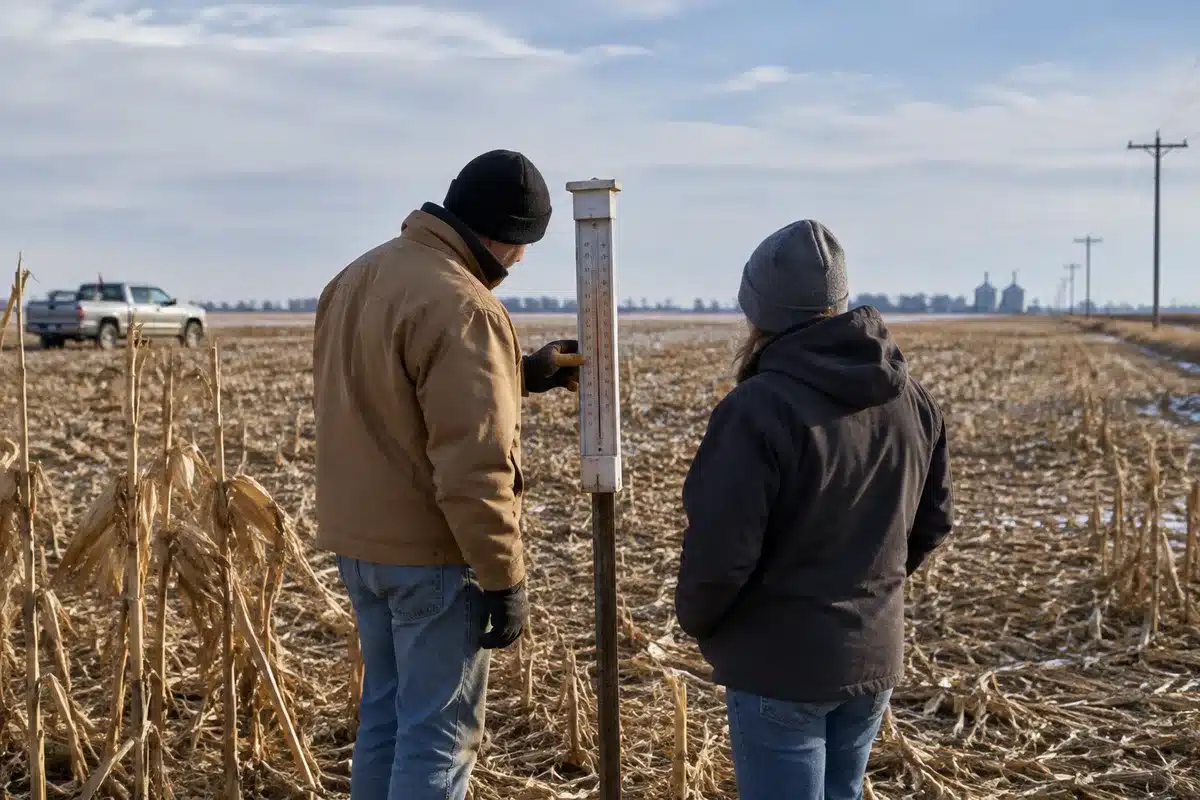
Trent Ford, Illinois’ state climatologist, says the most likely outcome for the region is a milder-than-normal winter — but he stresses that “likely” is not the same as guaranteed. The Midwest’s response to El Niño is variable; some winters tied to the pattern have been snowy, others not.
How the jet stream could shift
NOAA experts say a strong El Niño often pushes the polar jet stream farther south and east. That alteration typically increases storminess across the southern U.S., while northern tiers of the country tend toward warmer conditions.
Ken Graham, director of NOAA’s National Weather Service, summarized that tendency as a broad southward and eastward tilt in the jet stream that tilts storm odds toward the South — a pattern that can spare the Midwest some of the harshest cold but does not eliminate the chance for significant winter storms.
Practical implications for residents
- Warmer temperatures: Forecasters favor above-average temps across much of the Midwest for October through December, which can reduce heating demand and limit prolonged subfreezing stretches.
- Snow uncertainty: Warmer air does not preclude heavy snow events. Long-range private forecasts estimate a wide range of outcomes; one forecast projects roughly 12–25 inches for northern Illinois in 2026–27.
- Fall foliage: Warmer nights into late autumn can compress the fall color season, causing leaves to change rapidly when a hard freeze finally arrives.
- Storm tracks: A southward-shifted jet can concentrate severe winter storms and heavy precipitation farther south, changing where and when travel and infrastructure impacts occur.
Snow totals still uncertain
Local snow prospects remain an open question. Historical records show both snowy and light-snow winters during El Niño events, so blanket predictions are unreliable for snowfall amounts.
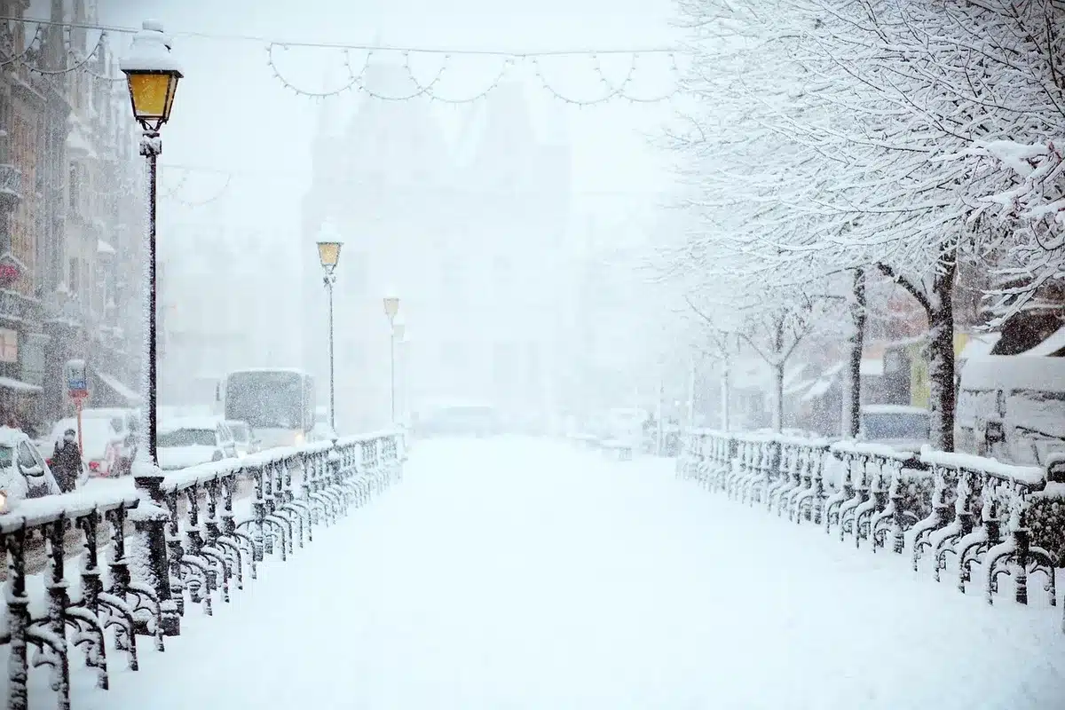
Private forecasters have offered tentative numbers: AccuWeather projects 12 to 25 inches for northern Illinois during the 2026–27 meteorological winter. By comparison, Chicago O’Hare recorded 21.9 inches in December–February 2025–26 — the most in four years, yet still well below the long-term seasonal average of 38.4 inches.
A volatile weather year
This year’s spring and summer were unusually active across northern Illinois. The National Weather Service reports 212 tornadoes statewide so far, surpassing the prior single-year record of 142 set in 2024. Significant early-season events included an EF-3 tornado and hailstorm in Kankakee County in March, damaging tornadoes in June around Streator and Huntley, and an intense derecho in August that spawned multiple tornadoes and caused widespread wind damage and power outages.
Definitions matter: a derecho is a long-lived system of fast-moving thunderstorms that can produce widespread, destructive straight-line winds over a large area, sometimes exceeding 75 mph.
From drought to deluge — and what that says about trends
Earlier in the year more than 93% of Illinois was in at least moderate drought, according to the U.S. Drought Monitor. By midsummer, heavy rains had largely erased that drought across much of the state.
Local measurements illustrate the swing. Romeoville recorded over 44 inches of precipitation from April through mid-October — compared with about 26.5 inches in the same period last year and an annual average near 40–41 inches.
“We’ve seen increasing precipitation trends over the last century,” Ford notes, and that trend can amplify extreme rainfall events. He also cautions against drawing direct, event-level attributions: while climate change likely influences the intensity and duration of heat waves and heavy precipitation, linking any single storm or a single tornado outbreak definitively to climate change remains scientifically challenging.
Looking ahead
Forecasters say the coming months will clarify how strong the El Niño becomes and how it interacts with other atmospheric drivers. For residents and planners, the immediate takeaways are straightforward: prepare for a milder winter on average, expect variability in snow and storm impacts, and monitor short-term forecasts as systems approach.
Advances in attribution science and seasonal forecasting in the next few years should sharpen the picture of how climate change and natural climate patterns combine to shape extreme seasons, experts say. For now, the message is cautious: patterns point to a warmer winter, but uncertainty about snowfall and isolated severe events remains.